;)
Sea Rising Solutions Home
| Type | Wiki Site |
Catch the King (Virginia) Overview
Catch the King is an annual partnered community science event that invites
local volunteers to use a mobile phone app developed by Wetlands Watch, called Sea Level Rise, to collect geographical data about where flooding occurs on predicted high water dates during the Fall season. The event’s name refers to tidal flooding that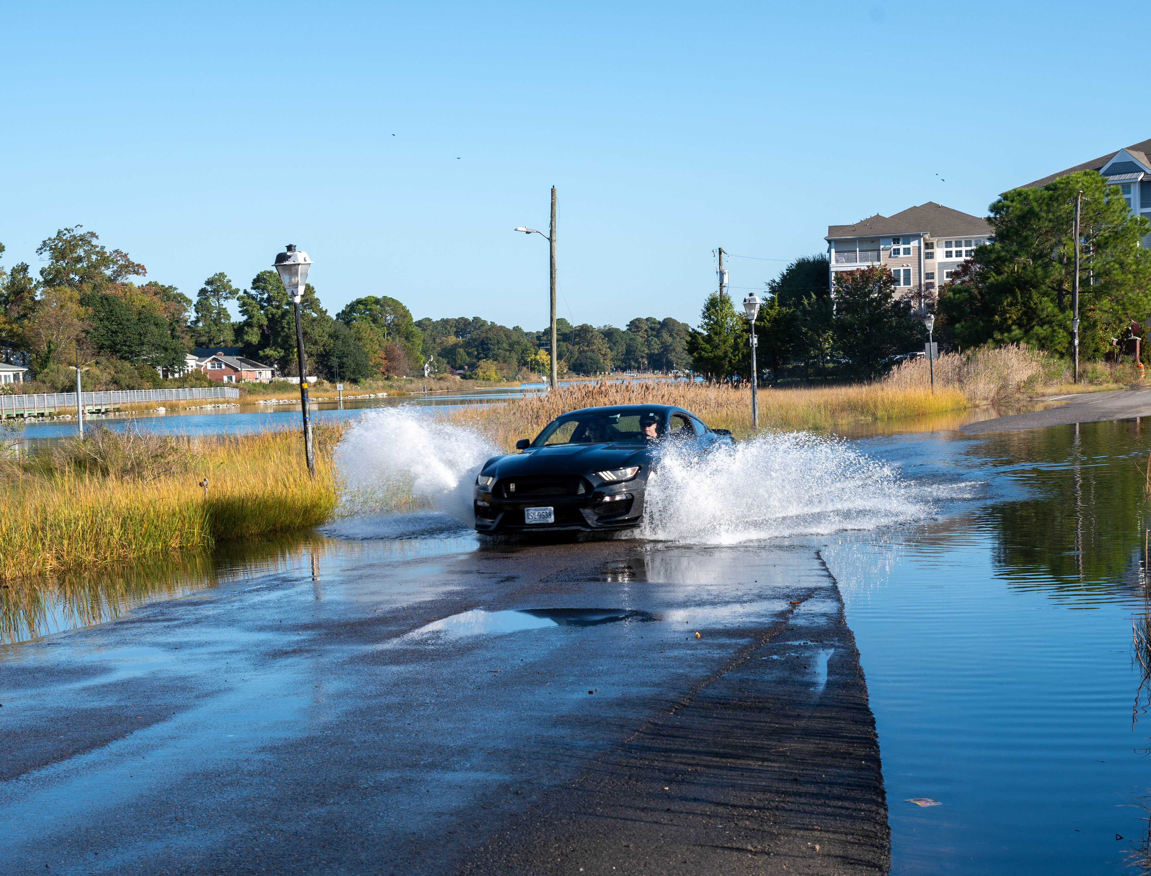 occurs during king tides, when the full or new moon is in perigee (its orbit comes closest to the Earth) and elevates sea levels to such a degree that flood waters encroach upon streets and infrastructure in coastal communities during high tide. These events are often called “sunny-day” floods because there is often no precipitation involved in bringing high water to your doorstep, however compound flood events that combine both tidal and rainfall
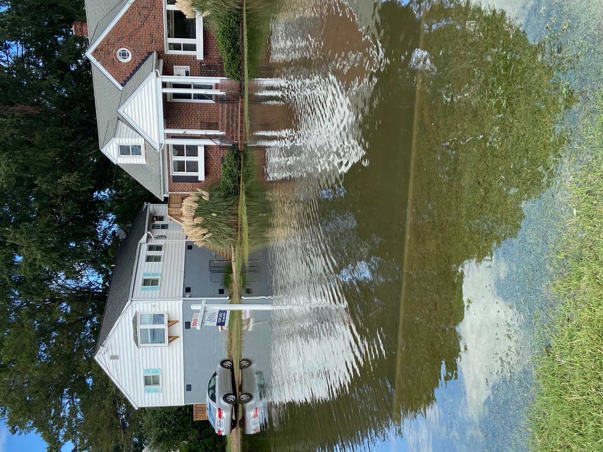 Studying the present impacts of king tides provides a vision into what lies ahead; the water levels of these “astronomical” events today are often not dissimilar to the predicted “normal” flood events of the future due to climate-induced sea level rise. One particularly jarring prediction from the National Oceanic and Atmospheric Administration (NOAA) claims that these “normal” sunny-day floods will occur nearly one-third of the year by 2050 in Virginia’s Hampton Roads alone. Through partnership with VIMS, Catch the King data is being used to help validate flood prediction models - a tool useful to local planners, decisionmakers, and the general public to learn more about how sea level rise impacts communities of today, and how to plan and adapt for conditions of the future. This program finds immense support through local volunteer groups, classrooms, and environmental organizations to collect flood data throughout Virginia.
Did You Know?
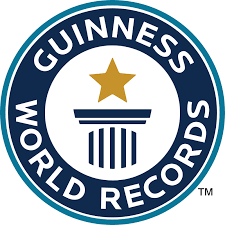 Catch the King broke a Guinness World Record in 2017 for "Most Contributions to an Environmental Survey"! We've also attracted national attention to our program -- the National Oceanic and Atmospheric Administration (NOAA) has funded Wetlands Watch to expand Catch the King into North Carolina in 2023, and we are planning for another partnered expansion to focus on riverine/non-coastal flood issues. Check out the North Carolina pilot here!
In the News
Catch the King has received lots of media attention over the years. Explore the links below to find articles about our annual king tide data collection event!
- 13NewsNow (2023)
- Chesapeake Bay Magazine (2023)
- ODU (2023)
- Daily Press (2023)
- VA MN Newsletter (2023)
- WW Director’s Blog (2022): Catch the King is Back In Person
- Virginian Pilot (2022): Catch the King
- WAVY (2022): Video
- 13 News Now (2022): Video
- 3 WTKR (2022): Video
- Hampton Roads Cares (2014): Video
- Nuisance flooding in Hampton Roads: WHRO; Virginian-Pilot
Sign in to add your comment.