Mobile App Help
For any immediate questions or troubleshooting needs related to using the Sea Level Rise app and participating in Catch the King, please use the "Comments" section below to post your question. We'll response as soon as possible!
How to use the Sea Level Rise App
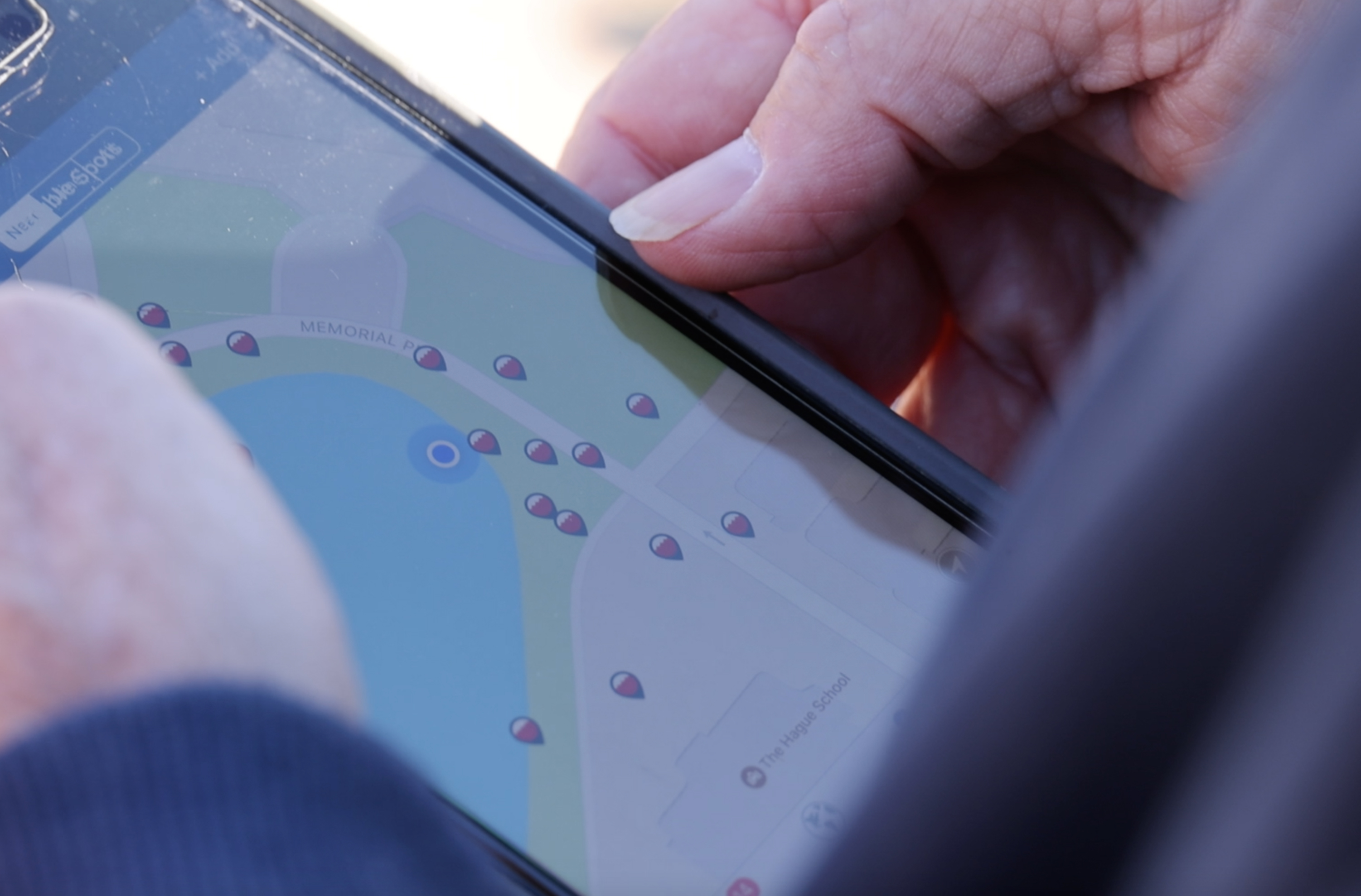
If you're using the Sea Level Rise app to collect data for Wetlands Watch's Catch the King program, please reference the following materials to help you get ready to collect data. If you're interested in becoming a volunteer, check out our quick-guide for becoming one! We're also always on the search for regional "Tide Captains" who would like to help coordinate teams of volunteers within their neighborhood, community, city, school, etc. Check out this Tide Captain quick-guide for more information!
Having data collection trouble? Use this troubleshooting form while you're out in the field to let us know what issues you're experiencing. The timelier, the better!
Tutorials and Training Guides
You can find the best step-by-step walkthrough of how to use the Sea Level Rise app for Catch the King at wetlandswatch.org/ctk-toolkit. Here are some of the materials we share to help volunteers get acquainted with the app:
- Sea Level Rise App Background -- why Wetlands Watch developed the app to collect flood data in Virginia communities
- Written Step-By-Step Tutorial Guide -- explains how to download, register, and join the right Catch the King region and event in the app
- Photo Step-By-Step Tutorial Guide -- for visual learners! This guide includes screenshots and photos for every step along the way
- Video Step-By Step Tutorial-- not loving the written or photo guides? We have you covered! Follow along this video to learn how to set up your Sea Level Rise app to collect data during Catch the King.
- App Troubleshooting Form -- please use this form in the field if you run into issues with the app. We need detailed information on the issue you're experiencing to help communicate this with our developers.
- Share Your Flood Story! -- A new update in the Sea Level Rise app displays a "Share your flood story" link in the menu of the app. Learn more about DCR's call for public feedback on flooding at https://www.dcr.virginia.gov/dam-safety-and-floodplains/flood-story.
Planning your Catch the King Mapping
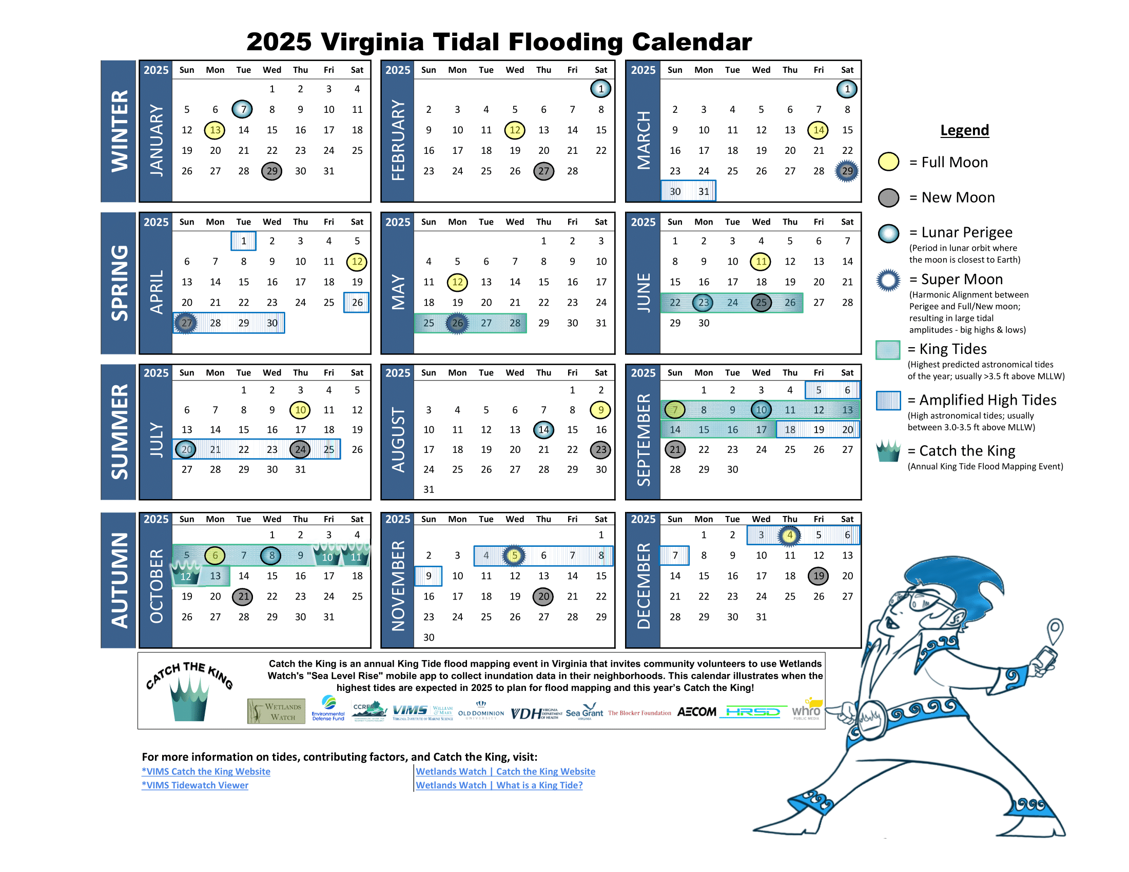
2025 Virginia King Tide Calendar:' a great resource to schedule your practice mapping sessions or training events during a high water or king tide event
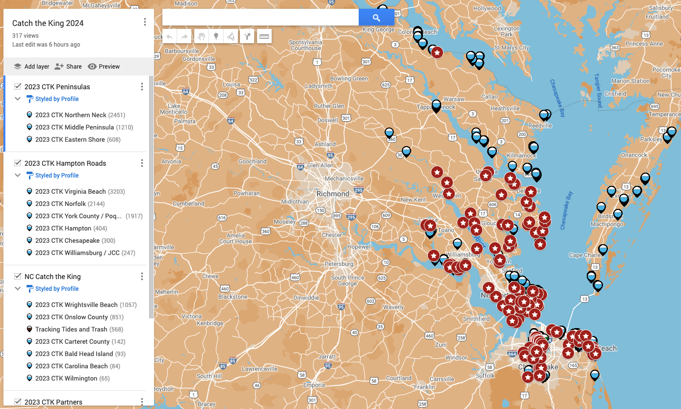 2024 CTK Flood Location Map: this resource displays Catch the King data collected in 2023 to show volunteers the sites we have covered, or would like to collect data at again. Once the map loads in your browser, you can tap on any of the red stars and get navigation directions to a flood hot spot near you!
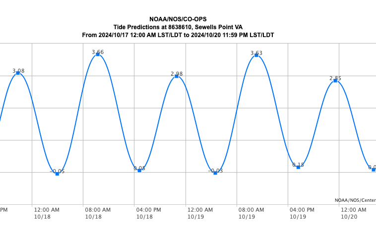 NOAA Tide Prediction Charts: find the time of high tide in your area by visiting the NOAA Tide Prediction Chart website and following these instructions. You can also find your tide station through the National Weather Service!
Comments (1)
I need to add Northern Neck CTK to my region and not sure how to do this
Kathleen Moffitt
2 years ago
Sign in to add your comment.
