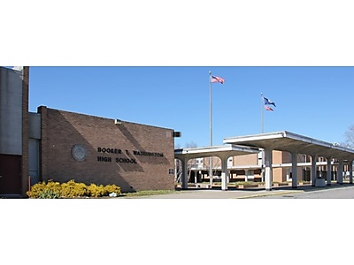
King Tide Mapping Booker T. Washington High School
Posted by Mike Avery on October 26, 2018, 7:30 PM EDT

Our students from Booker T. Washington did an outstanding job mapping the flood waters around Norfolk. We created over 1200 mapping events as student (citizen) scientist providing data to the overall scientific community to study rising sea level. Norfolk is particularly prone to flooding with many areas at or below sea level. We discussed the cause of sea level rise as well as why the tides were "King" today. Moon phases and spring/neap tides are the lessons being taught in our Earth Science class. Here are the trouble spots BTW visited:
Barraud Park https://goo.gl/maps/Lu5tHCWJ8Gx
Lindenwood Elementary School, 2700 Ludlow St, Norfolk, VA 23504, https://goo.gl/maps/FQ4JYnNUkqq
Virginia Zoological Park, 3500 Granby St, Norfolk, VA 23504, https://goo.gl/maps/tsbfGTG6sNM2
Haven Creek Boat Ramp https://goo.gl/maps/ATFm3j6uHg22
Chrysler Museum of Art, 1 Memorial Pl, Norfolk, VA 23510, https://goo.gl/maps/jZKHzKYpugo
Harbor Park Stadium, 150 Park Ave, Norfolk, VA 23510, https://goo.gl/maps/TwmAzSrSeTE2
